Mapbender
Made-to-measure WebGIS solutions

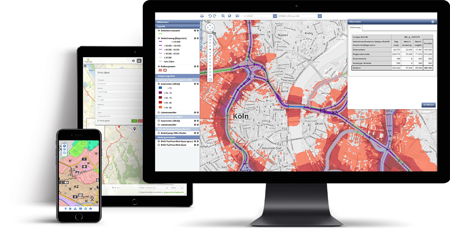
A professional, open source software solution for creating map-based applications.
Download Mapbender

Mapbender
is flexible

A level of flexibility that can be deployed worldwide.
See examples

Mapbender
is open

Open source standards, independence, adaptability and a wealth of other advantages.
Try out a demo
Your CMS for maps

Easy to use and powerful

Mapbender is one of the leading open source solutions for creating intuitive and high-performance WebGIS applications.

This software solution enables users to quickly and easily publish maps and geodata online without having to write a single line of code.

As with most CMS solutions, adjustments to the design, the range of functions as well as rights management can all be carried out easily using the browser. Moreover, the area of application ranges from municipal urban planning services to highly complex, integrated specialist applications.

Discover Mapbender

Mapbender is an OSGeo certified open source project

Learn more

Opinions

Comments from the community

Mapbender is a powerful open source WebGIS solution that is both easy and intuitive to use.

Reiner Bousonville, DB Immobilien

With a Mapbender-based geoportal, we now have an excellent platform that enables members of the public to access municipal information with ease.

Andreas Cordier, Stadt Troisdorf

Mapbender is a tool we use on a daily basis and is a key instrument to the success of our customers.

Oliver Voltz, Vattenfall

Many thanks to our

Sponsors and partners